
Reading the Alpine Sky: When Anabatic Breezes Give Way to Valley Venturis
The Deceptive Calm of the Alpine Morning
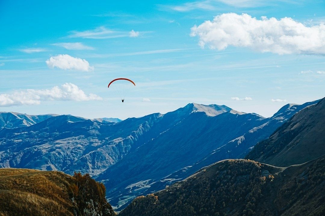
At first light, an alpine valley can look almost motionless. The air is cool, the ridgelines are sharply drawn, and a paraglider or sailplane pilot may find only a delicate upslope breath lifting from sunlit rock. This is the celebrated morning window, when slope heating begins to build clean, laminar anabatic flow before the valley”s larger circulation has fully assembled. Yet the apparent calm is not an absence of energy. It is the opening phase of a daily atmospheric transition.
Solar heating gradually creates temperature contrasts between exposed slopes, shaded ravines, valley floors, glaciers, forests, and higher air masses. Those contrasts generate pressure differences that can organize isolated slope currents into a coherent valley wind. A broad synoptic forecast may correctly describe the regional pressure pattern while missing the precise hour when one side valley begins to accelerate, a pass starts to funnel flow, or a sheltered launch becomes turbulent. The useful forecast is therefore written in the landscape itself. Cumulus bases, shadow lines, vegetation, haze, cloud texture, and the changing sound of the valley offer a real-time framework for deciding whether gentle lift is maturing into a wind engine.
Anatomy of the Diurnal Shift From Slope Heating to Valley Pumping
The diurnal sequence usually begins with uneven heating rather than a single valley-wide breeze. A dark, steep, sun-facing slope warms rapidly, producing buoyant air that moves upslope. Across the valley, a shaded face may remain comparatively stable, while the valley floor still contains cool, dense air. The result is a patchwork of small currents. For a pilot, this stage can feel generous and manageable: thermals are discrete, lift is often localized, and the wind direction may still vary with aspect.
As heating continues, the temperature contrast becomes more organized. Warmer air rising along multiple slopes lowers pressure relative to the surrounding atmosphere and helps draw air along the valley axis. The resulting flow is not simply a stronger version of an anabatic breeze. It is a larger circulation with greater horizontal reach and more momentum. In a narrowing valley, conservation of mass forces the moving air through a smaller cross-sectional area. Speed can increase sharply, particularly where ridges, cliffs, forested shoulders, or neighboring spurs leave the flow only one practical route.
Mountain and valley winds are thermally driven and commonly reverse over the daily cycle, with upslope and up-valley flow during the warmer part of the day and downslope or down-valley flow after cooling. The exact timing and strength depend on slope orientation, cloud cover, snow and ice, atmospheric stability, and the geometry of connected valleys. Research on mountain-valley breezes in complex terrain, although conducted in an urban setting, also demonstrates how circulation direction, wind speed, and three-dimensional terrain or built form can reshape local thermal behavior. The broader lesson is applicable in the mountains: the circulation is spatially uneven, and a valley-wide label can conceal decisive local differences.
| Stage | Typical atmospheric signature | Operational meaning |
|---|---|---|
| Early slope heating | Small thermals, light aspect-dependent flow, stable shaded faces | Useful lift may exist, but the wind system is not yet fully representative of midday conditions |
| Organizing valley circulation | Cloud development becomes more coordinated, flow begins aligning with the valley axis | Expect increasing cross-valley shear and fewer reliable escape options |
| Accelerated channel flow | Stronger surface cues, sheared cloud bases, compressed airflow at gaps and bends | Reassess route, altitude, landing options, and turnaround time immediately |
| Late-day reversal | Cooling slopes, drainage currents, changing shadow pattern | Do not assume a benign evening return; local reversals can be abrupt and terrain-trapped |
The transition also changes the character of turbulence. Isolated convection may produce manageable pulses of lift and sink, whereas integrated valley flow can introduce persistent shear, rotor, and acceleration zones. The same sun that creates a rewarding thermal line can therefore be building the pressure gradient that later makes the return flight difficult. Treating thermal quality as the sole measure of safety overlooks the horizontal component of the developing circulation.
Regulatory Competence and the Micro-Meteorology Imperative
Mountain judgment is not an optional refinement added after basic airmanship. It is part of applying aircraft control, navigation, threat management, emergency planning, and operational discipline in an environment where the weather can vary over a few hundred metres. The PPL framework addresses broad competencies, from aircraft preparation and visual control to navigation, emergencies, and precautionary landings, but those skills only become meaningful in the mountains when linked to terrain-specific wind interpretation.
Training and qualification requirements should be read as a foundation for sound decisions, not as a substitute for local experience. The EASA Easy Access Rules for Aircrew set out the approved training context and practical competencies relevant to private pilots. In mountainous terrain, that competence must include a disciplined understanding of how wind shear, rotor, turbulence, glide performance, and limited landing opportunities interact. A technically proficient pilot can still be caught by a deteriorating valley if the environment is interpreted as a static forecast rather than a changing system.
- Plan escape routes before entering a narrowing valley, and identify more than one viable landing area where possible.
- Set a turnaround time based on wind evolution and terrain geometry, not only on distance or remaining daylight.
- Distinguish aircraft limitations from environmental limitations, since a wing or sailplane may remain structurally within limits while the pilot loses adequate control margin.
- Use local observations, pilot reports, launch-site indicators, and valley-floor clues to update the original forecast.
- Brief the effect of increasing tailwind, sink, rotor, and cross-valley drift before committing to terrain with few exits.
Sensory Metrics for the Impending Venturi Surge
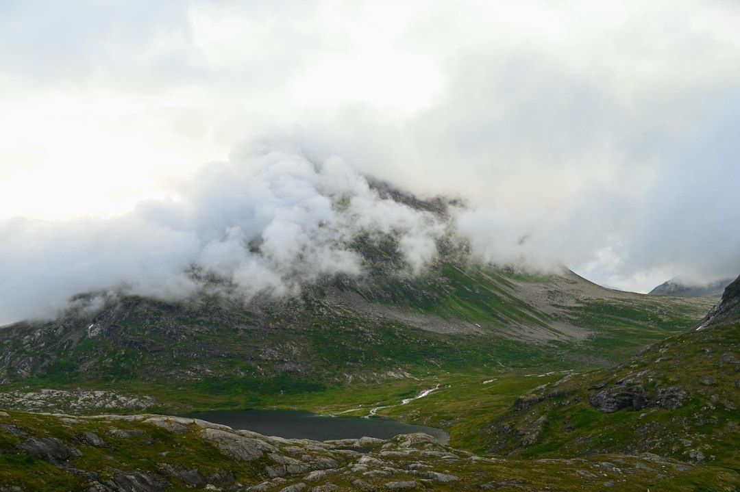
Clouds are among the most useful high-level instruments available to a mountain pilot, provided they are read as moving structures rather than decorative markers. A cumulus base that begins to shear laterally suggests that wind direction or speed is changing with height. Ragged condensation edges, torn fragments streaming from a cloud, or a base that appears uneven across a short valley may indicate vertical shear and disturbed flow. The key is comparison. Track the same cloud against a ridge or summit for several minutes, and note whether its upper and lower portions are moving together.
Surface observations provide the lower half of that picture. Tree crowns that sway in one consistent direction are different from vegetation that shivers, twists, and repeatedly changes angle. A smooth lake or reservoir can acquire bands, ripples, or a sudden textured patch that advances across the water. Dust, drifting snow, or mist may reveal channels invisible from the air. These clues should be treated as trend indicators rather than exact wind measurements, because local obstacles can create their own eddies and false signals.
The shadow line is particularly valuable because it acts as a moving thermal clock. As sunlight reaches a slope, lift may strengthen; as a shadow advances across it, the surface begins to lose its ability to generate new thermals. If the shaded area expands while the valley-axis wind continues to build, the pilot may face diminishing vertical support combined with increasing horizontal drift. A subtle pressure change at low level, a sudden cool stream through a saddle, or a drop in the altimeter not explained by broader weather can reinforce the impression of changing flow, although none of these observations should be used in isolation.
- Cloud bases: Look for lateral displacement, ragged edges, and different movement at different heights.
- Vegetation: Separate smooth, uniform sway from turbulent, pulsing movement that signals shear or rotor.
- Water and loose material: Watch for advancing ripple bands, dust, spray, or snow plumes aligned with a gap.
- Shadow lines: Compare the retreat of sunlight with the persistence or strengthening of valley-axis wind.
- Sound: A growing rush from a notch or forested slope can be an early warning, especially when visual cues are masked by terrain.
These observations become most useful when recorded as a sequence. A single torn cloud or moving tree does not establish a dangerous trend. Several aligned changes, however, can show that the atmosphere is moving from thermally buoyant to hydraulically accelerated. That is the point at which a conservative decision should be made, before the strongest flow reaches the pilot”s position.
Navigating Mountain Gaps and Hydraulic Acceleration
A constriction converts a broad circulation into a concentrated one. When a valley narrows, the same general air mass must pass through less space, increasing velocity and often intensifying turbulence along the edges of the jet. Bends can add centrifugal effects, while ridges and abrupt steps produce separation, recirculation, and lee-side rotors. The visible wind may appear moderate on the approach and then become markedly stronger inside the gap, leaving little room to turn around or climb away.
This mechanism has close parallels in steep coastal terrain. The Juneau Flight Service Station describes how maritime air, steep relief, pressure gradients, glaciers, and narrow passes can create localized windshear and mechanical turbulence in Alaska. Such conditions may be too geographically limited for broad regional advisories, which is why pilot reports and immediate observations matter. Alpine valleys can produce the same kind of small-scale severity even when the surrounding forecast appears unremarkable.
- Map the funnel before flight. Identify narrowing sections, saddles, bends, cliff lines, and any terrain that removes a direct exit.
- Watch the approach corridor. Compare cloud drift, surface movement, and thermal alignment on both sides of the gap rather than judging wind from one sheltered launch.
- Protect an escape angle. Enter only while a turn toward wider terrain or a known landing area remains practical.
- Turn around early. If sink increases, the ground track accelerates, or the wind becomes more aligned with the valley axis, retreat before the bottleneck.
- Expect downstream effects. Rotor and curling shear can extend beyond the narrowest point, so clearing the gap does not necessarily mean clearing the hazard.
For paraglider pilots, the margin is especially unforgiving because penetration, reserve deployment, and landing options are tightly connected to airspeed and ground speed. Sailplane pilots may have greater glide capability, but that capability does not erase rotor, downdrafts, or the danger of being carried toward terrain faster than an exit can be planned. Mountaineers and climbers should apply the same logic on ridges and passes: a calm start does not guarantee a calm traverse, and a wind that accelerates through a notch may arrive with little warning on the exposed side.
Mastering the Alpine Window Before the Valley Traps Close
The safest reading of an alpine morning combines three maps at once: the sky above, the thermal surface below, and the geometry between them. Cumulus shearing can reveal developing vertical structure; retreating shadows can show where the thermal engine is weakening; vegetation, water, sound, and haze can expose the arrival of low-level flow. Terrain then determines whether that flow will disperse or accelerate. When the visual signals agree, the correct response is rarely to wait for absolute proof.
Set conservative turnaround points before the valley begins to pump. Once a constriction is entered, the atmosphere may remove the very altitude, airspeed, or lateral freedom needed to reverse course. The decisive habit is to leave while the route still feels comfortable, not after it has become visibly threatening. With repetition, these cues become instinctive without becoming casual. That combination, alert observation joined to early commitment, is what preserves the alpine window and keeps exploration from becoming a negotiation with a closing valley.

Comments are closed.